
JACKSONVILLE, Fla. — To become a part of the First Alert Neighborhood weather station network - scan below &/or click * here *:
Updated everyday throughout the hurricane season - “Talking the Tropics With Mike”.
The National Hurricane Center upgraded two storms during the month of June. Both were incredibly short-lived & very borderline but such as it is we’re now at Chantal to begin July for the next named Atlantic storm.

July averages for Jacksonville:

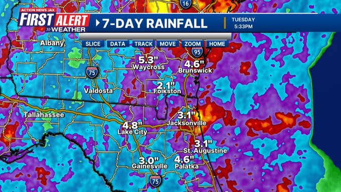
We’re coming off a hot, relatively dry June though the less than 4″ at JIA was quite a bit less than many other areas with a general average elsewhere of 5-7″.


So... just like that - we’re half way through 2025! The year so far in Jacksonville has been warmer (despite a very cold January) & drier than average. A quick look back at the year so far weatherwise:


JANUARY:
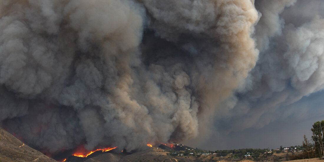
8th - Los Angeles wildfires. January 7, 2025. Adobe stock photo:
22nd - Ice & snow near & north of I-10 in NE Fl. & across all of SE Ga.

FEBRUARY:
6th - First two tornado deaths of the year - Deer Lodge, Tennessee
16th - Daytona 500 finished at 9:40pm after a rain delay
MARCH:
9-10th - 4-7 inches of rain near & north of I-10 with 4.07″ at JIA
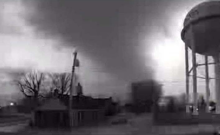
14-15th - At least 39 dead after tornado outbreak in Illinois, Missouri, Alabama & Mississippi. Cody Lance tornado photo - Oakland City, Indiana:
16th - 4 hour Players delay at TPC Sawgrass & a Monday finish on the 17th
APRIL:
7th - EF-0 tornado in Waycross, Ga.

20th - Rip current death at Hanna Park
25th - Rip current death at Fernandina Beach
MAY:
7-12th - 1.5-7.5″ of rain across NE Fl. & SE Ga.
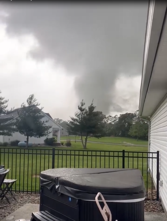
16th - 25+ dead after a Missouri/Illinois/Kentucky tornado outbreak... photo by Mary Jo McCurdy near Marion, Illinois:
29th - EF-0 tornado - Durbin, St. Johns Co.

#firstalertwx another view of the EF-0 tornado from Thu (05/29) afternoon near Durbin - appears to have ended as a small waterspout over a retention pond @ActionNewsJax @WOKVNews pic.twitter.com/xTDjuzxbGY
— Mike Buresh (@MikeFirstAlert) May 30, 2025
JUNE:
13th - Local (NE Fl./SE Ga.) wet season begins.
5-30th - 26 straight 90 degrees - ties for 20th longest streak on record in Jacksonville

Serious NOAA budget cuts continue to be proposed. Two that are the most concerning for the local area & any coastal areas involves cuts that could impact hurricane forecasting:
(1) completely cuts funding for NOAA Hurricane Hunters recapitalization. The reconnaissance flights into hurricanes are critical in determining strength & structure & where the center of a storm or hurricane is. This means less flights, or none at all, as the funding keeps the aircraft flying not to mention a lack of needed maintenance for such demanding flights. They’re is no replacement that exists for this type of data.
(2) An announcement NOAA called a “service change notice” to all users, including the National Hurricane Center, that by next Monday, June 30th, they would no longer receive real-time microwave data collected aboard three weather satellites jointly run by NOAA and the U.S. Department of Defense. Within days, the change in service was delayed to July 31 which, of course, doesn’t help a whole lot considering the “meat” of the hurricane season is August through Oct. The microwave satellite data is especially helpful for monitoring tropical systems at night & also aid in monitoring rapid intensification cycles. The GOES series of weather satellites will still be available.
Personally - if the proposed cuts in the current bill are realized, my concern is far greater for the longer term when we could see a true degradation of data & technology not to mention a lack of free, vital & very worthy weather/climate enterprise & research. It’s not too late to reach out to your U.S. representative * here * & U.S. senator * here *.
A well written & comprehensive article has been written by Michael Lowry * here *.
July night skies from Sky & Telescope:
July 3: Earth is at aphelion, its farthest from the Sun for the year (3.4% farther than it was at perihelion in January).
July 3 (evening): The Moon, one day past first quarter, is 2½° to the lower left of Virgo’s brightest star, Spica.
July 7 (evening): The waxing gibbous Moon hangs around 4½° to the lower left of Antares, Scorpius’s smoldering heart.
July 12 (morning): Look low in the east-northeast to see Venus rise with Aldebaran 3½° below it.
July 15 (evening): The waning gibbous Moon rises in the east, with Saturn 2° below it.
July 20 (morning): The waning crescent Moon climbs above the horizon with the Pleiades star cluster.
July 23 (dawn): A thin sliver of lunar crescent is 5° left of Jupiter low above the east-northeastern horizon. Venus, the Morning Star, blazes to the pair’s upper right.
July 26 (dusk): The Moon, two days past new, follows Regulus by a bit less than 2° as the pair sets in the west-northwest.
July 28 (dusk): Look low in the west after sunset to see the waxing crescent Moon 4° to the left of Mars.
July 30 (evening): The Moon, two days shy of first quarter, shines 2° to the lower right of Spica.
July 30–31 (all night): The Southern Delta Aquariid meteor shower, which favors viewers at southerly latitudes, is expected to peak. The waxing crescent Moon shouldn’t spoil the show.
Moon Phases
First Quarter July 2 3:30 p.m. EDT
Full Moon July 11 4:37 p.m. EDT (Full Buck Moon; also Full Thunder Moon)
Last Quarter July 17 8:38 p.m. EDT
New Moon July 24 3:11 p.m. EDT


 Sign Up

